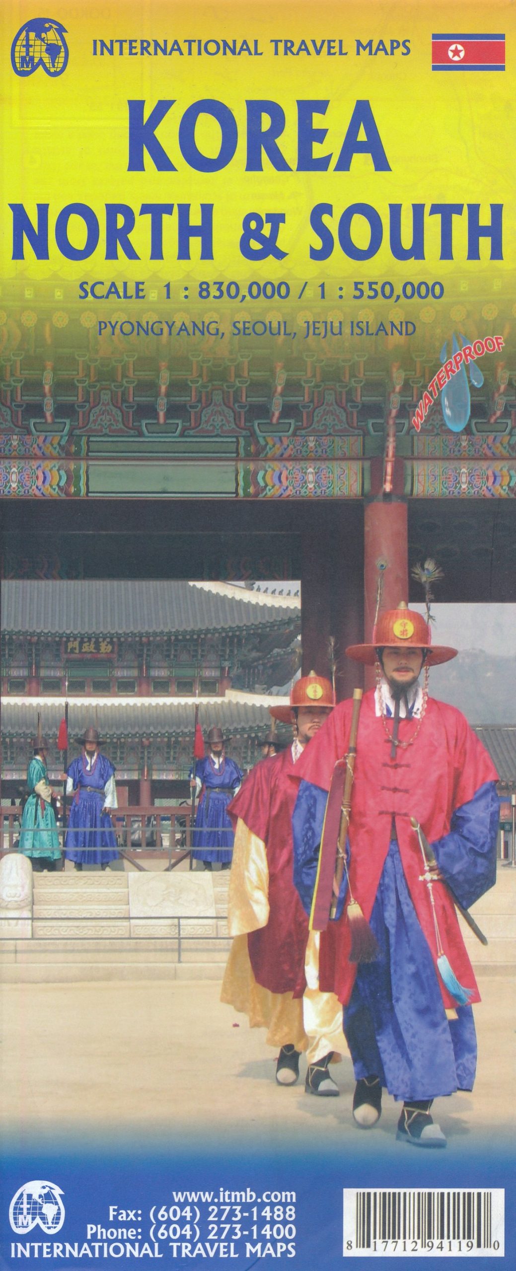
Wegenkaart – landkaart Korea, North & South | ITMB
$11.95
Een degelijke kaart met aanduidingen van o.a. nationale parken, vliegveld, benzinepomp en dirt-roads. Als overzichtskaart goed te gebruiken.
Met Noord Korea, schaal 1:830.000, aan een kant en op de andere zijde Zuid Korea, schaal 1:550.000.
This is a brand new title for ITMB, combining North and South Korea into one double-sided map focusing on the entire Korean Peninsula rather than its political components. The peninsula is undergoing a lot of change at the moment, and no one knows the ultimate outcome. North Korea seems interested in opening itself somewhat to South Koreans, and even if steps to date seem like baby ones, tensions between north and south seem cordial at the moment. For the time being, this map replaces our separate map of North Korea, as changing conditions makes it too risky for us to re-do our North Korea title until its future path is clearer. However, although this map also shows South Korea in good detail, we will continue marketing our Seoul and South Korea map as well as this one. It is still quite difficult to enter North Korea, but we have included an inset map of central Pyongyang and another of its metro system just in case one makes it to the city. South Korea has emerged as one of the most economically developed countries in Asia and is well worth visiting.
Legend Includes:
Expressway, Main Road, Secondary Road, Railway with Station, Sea Route, Point of Interest, Temple, Museum, Hot Spring, Hotel, Monument, Fort, World Heritage, International Airport, Domestic Airport, Border Crossing, Beach, Lighthouse, Waterfall, Spa, Theater, University, Harbour, Ferry, Golf Course, etc.
