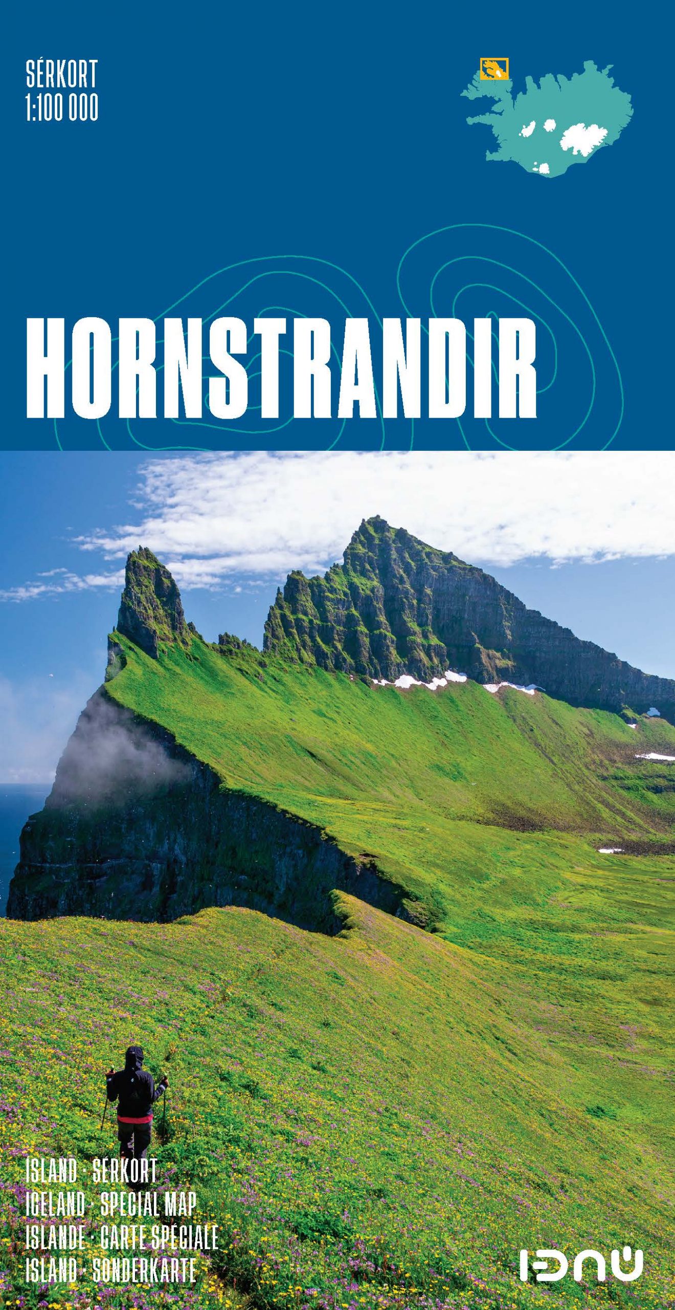
Wandelkaart 3 Hornstrandir – IJsland | Ferdakort
$21.50
Gedetailleerde wandelkaart van het zuidwestelijke deel van IJsland, met hoogtelijnen, wandelpaden (gemarkeerd en niet gemarkeerde), allerlei topografische details. Deze kaart bestrijkt het uiterste noordwesten van IJsland.
The Hornstrandir map is a popular activity map that has been used for many years by hikers in Hornstrandir, a uniquely interesting region in the West Fjords.
One of the titles in a series of special detailed hiking and touring maps, based on the Icelandic topographic survey, covering the most visited parts of the country. Since the administrative changes at the Icelandic survey organization, Landmælingar Islands, the maps are being gradually re-printed showing the name of Ferðakort as their publisher.
This title has contours at 20m intervals and bright colouring to indicate different types of vegetation and terrain. Local footpaths indicate sections with waymarking and coastal routes passable only at low tide. Road network shows river fords. Symbols mark emergency shelters, tourist huts and shelters, fishing lodges, museums, swimming pools, etc. The map has a grid showing latitude at 5’ and longitude at 10’, plus UTM margin ticks. Map legend includes English.
