Wegenkaart – landkaart Amazon – Amazone | ITMB
$11.95
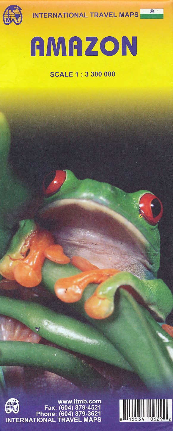
Heldere overzichtskaart van het inmense Amazone-stroomgebied. Toch – ondanks de grove schaal – veel details als het gaat om nederzettingen en wegen.
ITMB has created a new, digitally-prepared, double-sided map of this crucially important watershed area. It covers all the many rivers that form the Amazon basin and has been able to capture the information on the ‘old’ map, while using the expanded scale of the new map to add and enhance countless details that were crammed on to the earlier editions or for which there was inadequate room to include.
Legend Includes:
International and state boundaries, roads by classifications, distances between points, rivers, lakes, national parks, beeches, hotels, lighthouses, airports, place of interests and other information.
